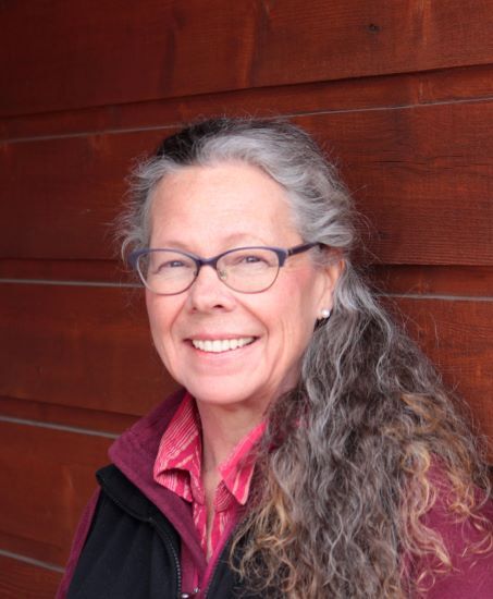
Martha Coleman

Graduating from Pennsylvania State University in 1985 with a Bachelor of Science in Geography, Martha accepted a mapping position with the U.S. Forest Service and headed “out west” to make Colorado her home. Throughout her 35-year career as a geographer, Martha has focused her passion on creating maps that communicate complicated data. Over the years, her maps have been used in problem solving and decision making for various organizations. Martha’s work has carried her to many places, near and far, including Thailand, Venezuela, and even Davenport, Iowa. Her positions have included GIS (Geographic Information Systems) and remote sensing analyst with the Bureau of Indian Affairs National Mapping Center and the Bureau of Land Management, GIS-based software developer for utility clients in the U.S and abroad at (Telvent) Miner and Miner Engineering, and Research Associate for modeling of grasslands through the Short Grass Steppe–Long Term Ecological Research network (SGS-LTER). Martha is currently a Planning Specialist in Facilities Management at Colorado State University (CSU).
While at CSU, Martha discovered a love for teaching, and greatly values the committee work she has done with the Office of the Vice President for Diversity since 2013. She played a key role in the creation of the “CSU Interactive Map” and also the “Inclusive Physical and Virtual Campus Policy and Standards”. When not at work, she spends time with her awesome family and seeks time to garden and explore wide open spaces.